Pawprints
My favorite tradition at Northeastern is Husky Hunt, an annual scavenger hunt where 50 teams of 12 students each, equipped with bikes and a passion for puzzle-solving, attempt to rack up as many points as possible in 24 hours. The hunt centers around solving clues that correspond to locations in the greater Boston area. Teams must then "complete" those clues by submitting selfies of themselves at those locations.
The Hunt is a challenge in logistics. It is made to overwhelm, and the team that can best handle the craze wins. Last year, I learned how difficult it was to coordinate the solving and completion of hundreds of clues efficiently (especially on 0 hours of sleep), and committed to devise an easier system.
Pawprints is a synchronized map where clue solvers at HQ can easily upload solved clue locations. Bike teams on the ground can then see these locations in real time, snap a picture, and upload the image where it is properly named and stored for submission. The mobile app also uploads Hunters' locations so that teammates at HQ can quickly alert the closest Hunters to off-campus challenges. It also shows the completed and uncompleted clues in blue and red, respectively. Below are snapshots of the web app and mobile app used during the 2018 competition.
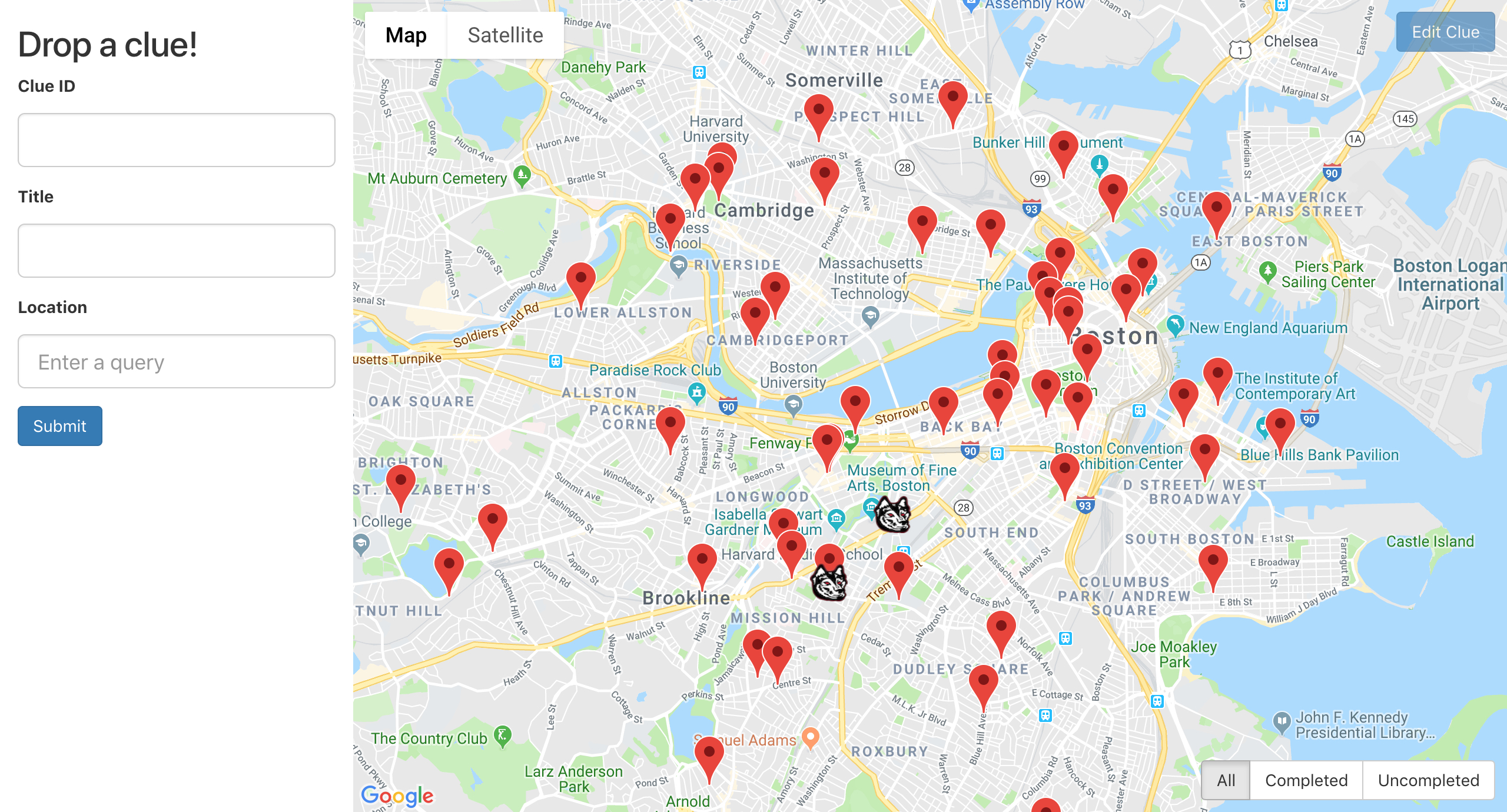
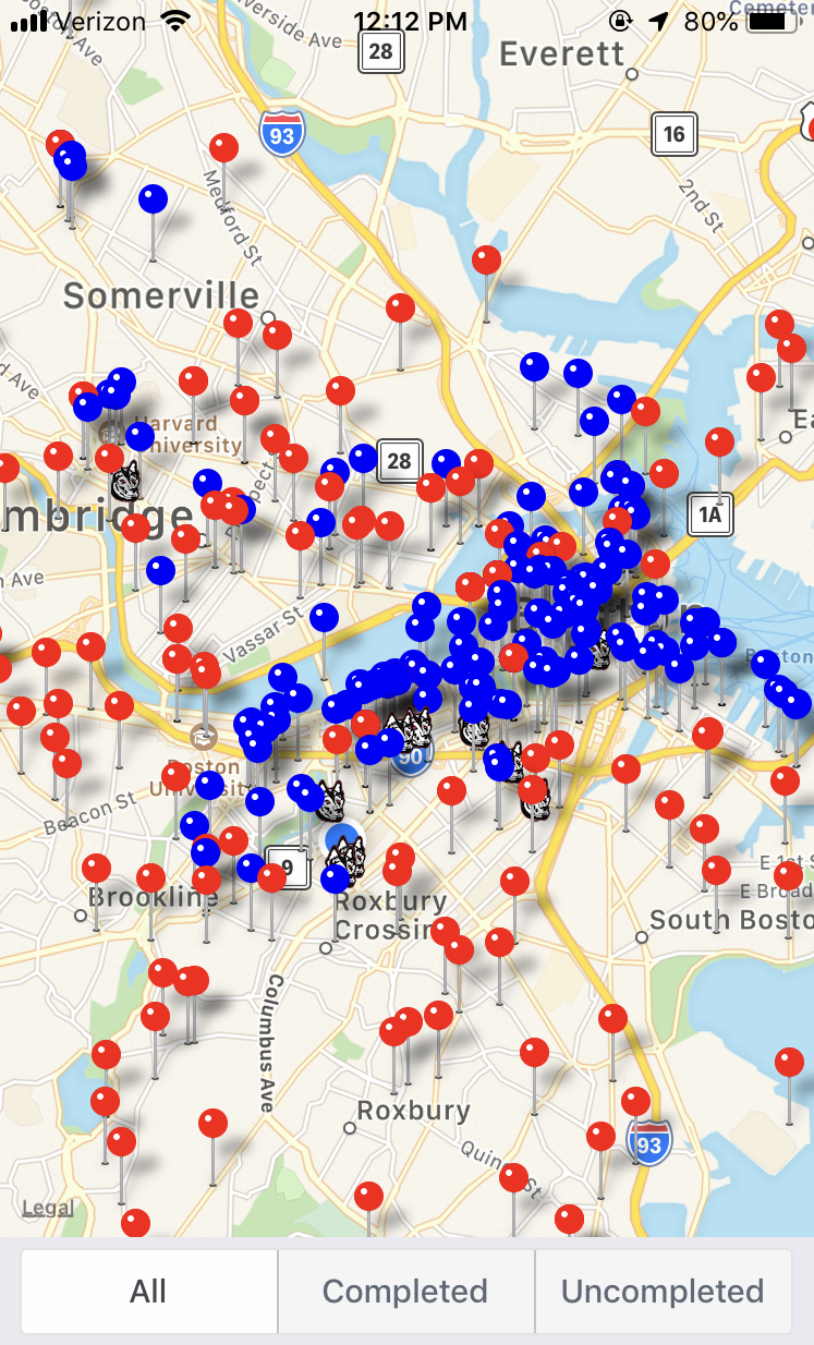
The webapp is built in React, using the Google Maps API, and backed by Google Firebase for persisting clue data, storing selfies, and hosting the site itself. Firebase also connects to the mobile app, which is written in React Native to support Hunters using both Android and iOS.